Get a scientific water survey before you drill. Save money, increase success.
Geo Water Scan Solution is a prominent scientific surveying company specializing in locating groundwater for open wells or borewell drilling.
Our motto: Talent + Technology = 100% result
With over 600+ well surveys conducted and a 99% accuracy rate, we can identify the most reliable water points using a combination of sophisticated technology, hydrological science, and skilled field experience.
We identify the most promising sites for borewell drilling and open well construction.
We estimate the ideal drilling depth to achieve reliable and sufficient water yield.
We identify aquifer zones, water bearing formations, and weathered rock layers.
Our comprehensive 5-step process ensures accurate results for all your groundwater needs
We evaluate the structure of the land, geological soils, slope, and topography of the area.
We evaluate the subsurface water flow, fractures, and storage potential.
We use hydrographic scanning, groundwater detectors, depth meters, and bathymetric profiling tools.
This traditional method helps us confirm the direction of the aquifer.
A clear report with the best drilling point, expected depth, water yield, and groundwater direction.
Comprehensive groundwater assessment services to locate the most promising sites for borewell drilling and open well construction
Detailed mapping and measurement of water bodies and related features.
Analysis of water distribution, movement, and properties in the environment.
Measurement of underwater depth and topography of water body floors.
Comprehensive inspection and assessment of underwater structures and conditions.
Assessment of water supply systems, infrastructure, and distribution networks.
Identification and mapping of subsurface water resources and aquifers.
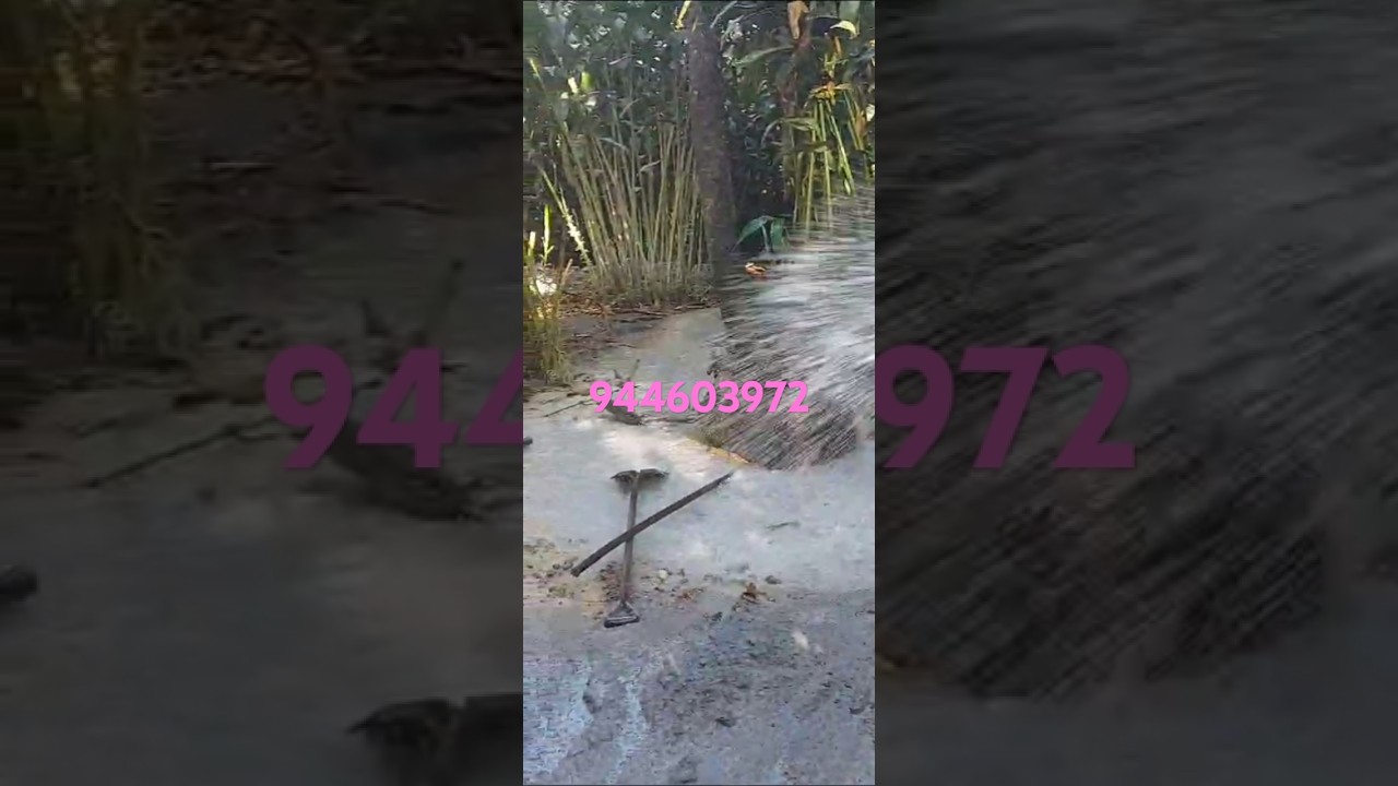
Traditional method for locating underground water sources (optional service).
Comprehensive evaluation of water availability, quality, and sustainability.
Site assessment and planning for well construction with optimal yield.
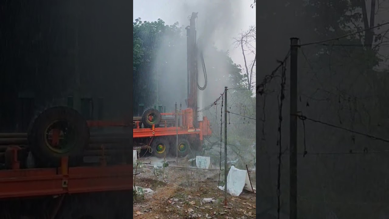
Watch our scientific groundwater surveying process and see real results from our field operations
Advanced technology for precise groundwater location with our specialized equipment
Modern equipment for accurate water source detection and analysis

Professional surveying for optimal drilling locations and depth estimation
Identifying underground water streams and aquifers with precision technology

Step-by-step groundwater detection methodology from start to finish
Comprehensive groundwater assessment techniques and analysis

State-of-the-art tools for accurate water detection and analysis

Confirming reliable groundwater sources with multiple verification methods
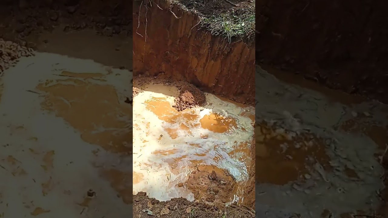
Real results from our scientific surveying methods and successful outcomes
Detailed water resource assessment and comprehensive analysis techniques

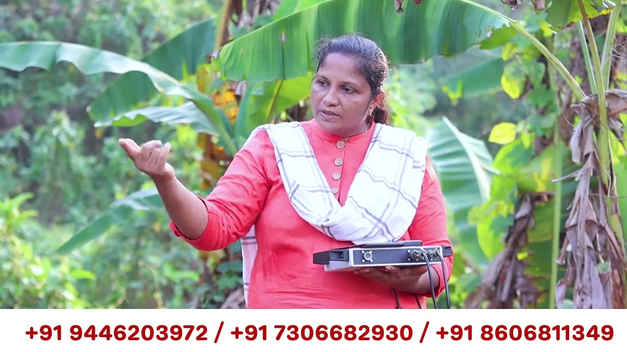
Our experts working on field surveys with precision and expertise

Our professional team in action at survey sites with advanced equipment

Comprehensive groundwater mapping techniques and visualization
Presenting accurate water source findings and comprehensive reports
We combine scientific methodology with advanced technology and experienced professionals
Extensive experience with a wide variety of geological conditions and water sources.
Proven accuracy in identifying reliable water sources with minimal dry wells.
Combining sophisticated technology with hydrological science for precise results.
Our team brings years of practical experience in groundwater surveying.
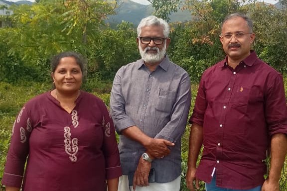
Trusted by well-known personalities who chose our scientific water detection service
Indian Film Director
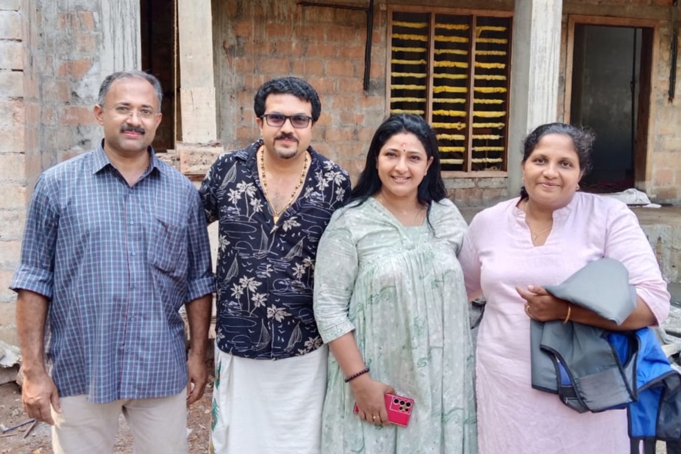
Film & Television Actress
Contact us today to schedule a scientific water survey for your property. Our team is ready to help you find the most reliable water sources.